Arroyo La Junta

A biodiversity jewel in the Sierra La Laguna Biosphere Reserve

Executive Summary

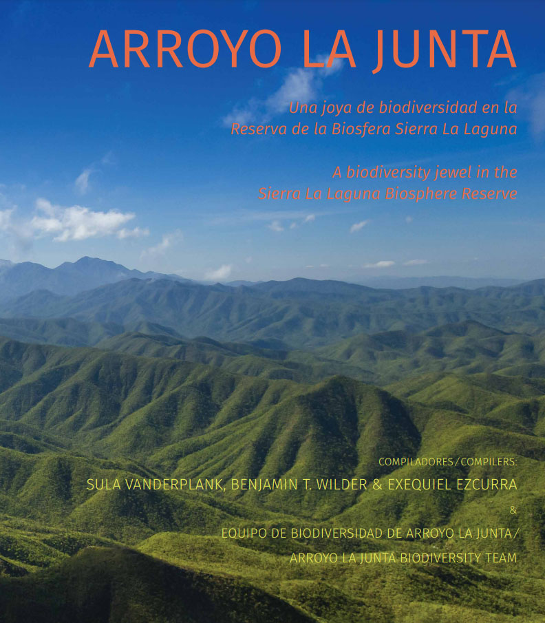
An international team of 29 scientists from 19 institutions conducted a biodiversity survey inside the Sierra La Laguna Biosphere Reserve in Baja California Sur, Mexico. This eight-day expedition was undertaken at the request of and in collaboration with the Mexican Commission of Natural Protected Areas (CONANP) to document the diversity encountered on ca. 1,235 acres of land currently petitioned for use as the open pit gold mine project Los Cardones. From December 4th to 11th of 2015 the participating scientists documented the presence of 877 species, including 381 plants, 29 mammals, 77 birds, 366 insects, and 24 reptiles and amphibians. The majority of this diversity was found associated with the La Junta riparian system at the core of the proposed mine site. Twenty-nine species, protected under Mexican law due to their inclusion on the endangered species list (NOM-059-SEMARNAT-2010), were discovered inside the project footprint, as well as 107 species endemic to the Cape Region.

Sierra La Laguna

This isolated mountain range exemplifies the effects of isolation and elevation gradients. A massive granitic batholith at the southern tip of the Baja California peninsula, the Sierra rifted off the Mexican mainland millions of years ago. In fact, it is thought to have possibly migrated as an island to its current position, relatively recently colliding with and attaching to the rest of the Peninsula. For the past few million years the Tropic of Cancer has run right through the middle of the ca. 2,200- mhigh range, providing a combination of habitats that are not replicated elsewhere in Baja California. An extreme elevation gradient and tropical climate allow the co-occurrence of disparate vegetation types, such as tropical dry forest and pine forest, which mingle on the higher slopes.

Arroyo La Junta

This study is focused along the northwestern portion of the Biosphere Reserve inside the San Simón reserve district and within the Jesús Maria parcel, also referred to as “Zona La Encantada,” of the Sierra La Laguna. The land is intersected by Arroyo La Junta and its tributaries, which lie along the division of two watersheds. The ridge just to the north of Arroyo La Junta demarcates the boundary where water flows to the La Paz watershed, ending up in the Gulf of California. Arroyo La Junta itself flows towards Todos Santos and empties into the Pacific Ocean.